The state weather bureau warns Rosita (Yutu) will bring heavy rain and very strong winds next week
|
|
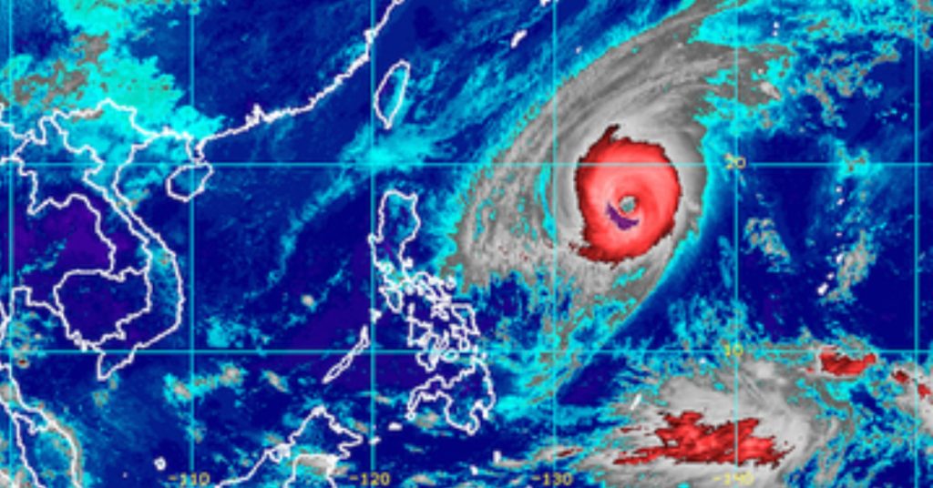
MANILA, Philippines – Typhoon Rosita (Yutu) slightly strengthened after entering the Philippine Area of Responsibility (PAR) on Saturday morning, October 27.
In a press briefing at 11 am on Saturday, the Philippine Atmospheric, Geophysical, and Astronomical Services Administration (PAGASA) said Rosita now has maximum winds of 200 kilometers per hour (km/h) from the previous 185 km/h and gustiness of up to 245 km/h from the previous 225 km/h.
The typhoon is already 1,345 kilometers east of Aparri, Cagayan, still moving west at 20 km/h. It has a huge diameter of 800 kilometers.
PAGASA said tropical cyclone warning signals may be raised in parts of Northern Luzon and Central Luzon as early as Sunday evening, October 28.
Moderate to heavy rain from Rosita may begin hitting Northern Luzon and Central Luzon starting Monday evening, October 29. Also on Monday evening, Signal No. 1 could be raised in Metro Manila.
Strong to very strong winds are also expected to affect parts of Northern Luzon and Central Luzon beginning Tuesday morning, October 30.
Then, also on Tuesday, Rosita might make landfall in the area of Isabela and Cagayan. (READ: FAST FACTS: Tropical cyclones, rainfall advisories)
PAGASA warned that flash floods and landslides are possible in areas in the typhoon’s path, especially those in low-lying communities or in mountainous regions. Residents should be on alert and follow authorities’ instructions.
Source: rappler.com
